Departure

Arrival
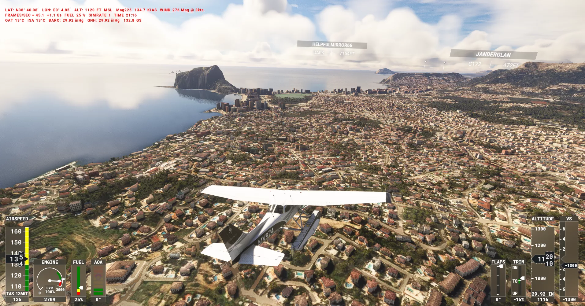
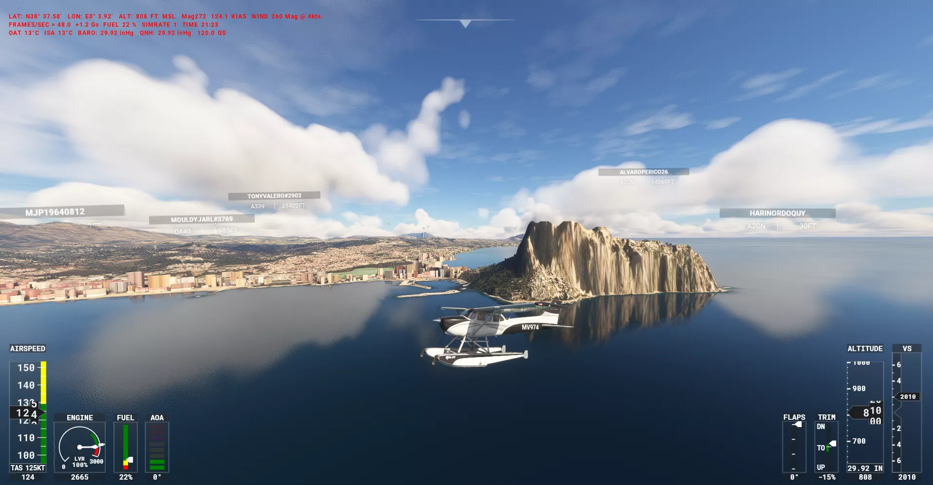
The flight began with an enroute climb from Javea, Spain, where the aircraft, a Cessna Skyhawk, started ascending from an altitude of 1,485 feet above sea level. However, the climb was brief and only resulted in a negligible increase in altitude, with the aircraft reaching the same altitude of 1,485 feet after just one minute. The climb covered a short distance of less than one nautical mile.
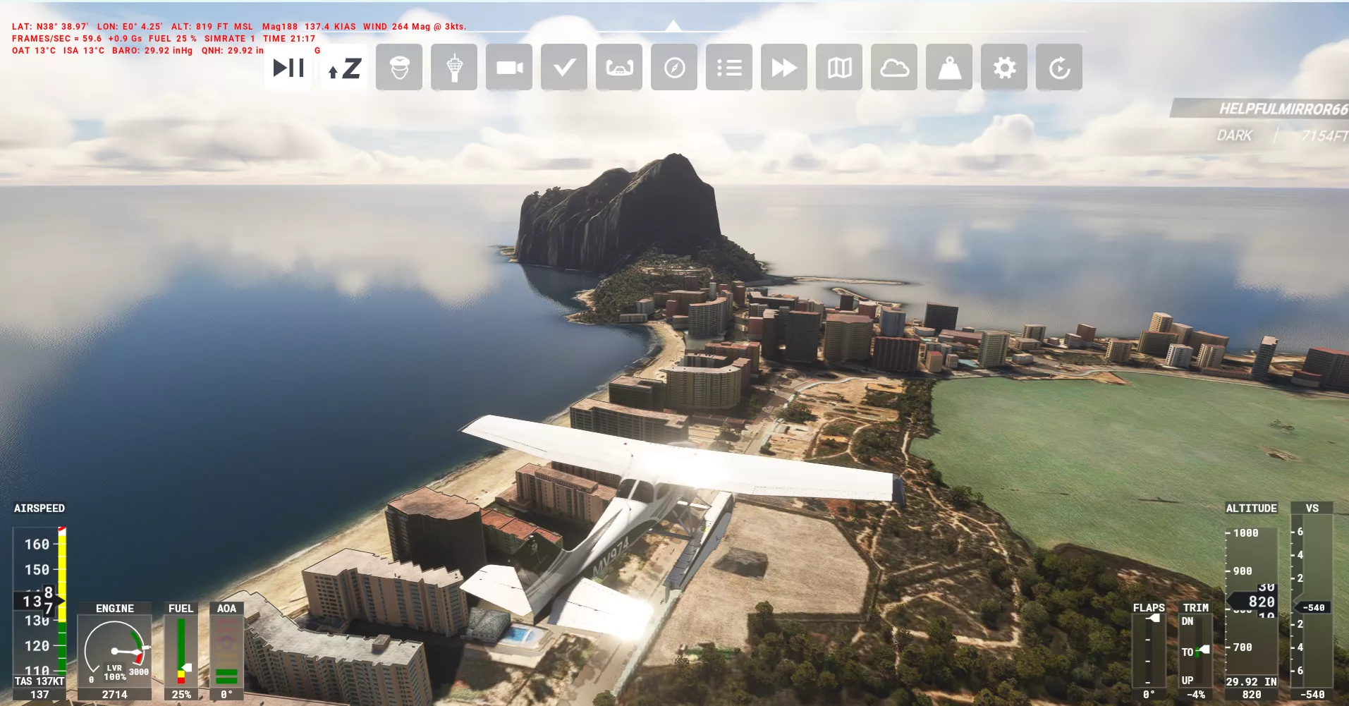
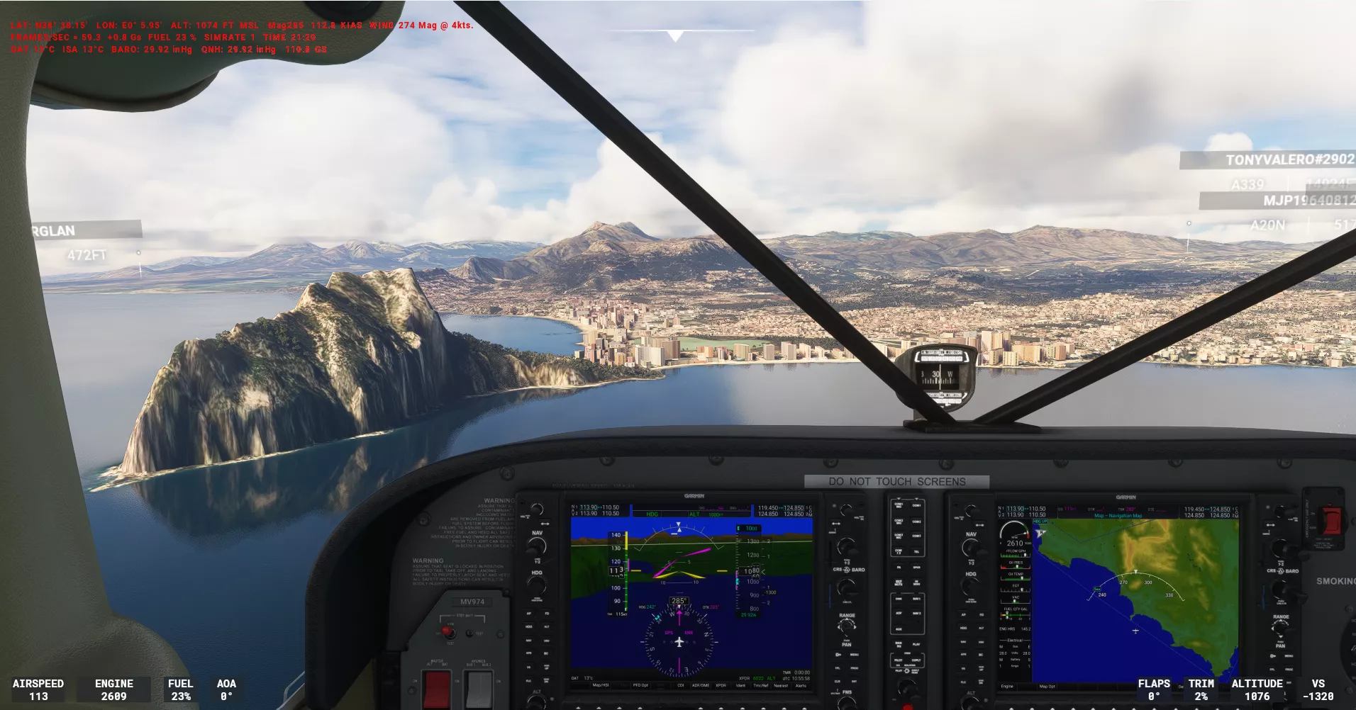
Following the initial climb, the aircraft entered a level cruise phase, also starting from Javea. This phase lasted for 32 minutes and covered a distance of 42 nautical miles. The aircraft then began another enroute climb, this time from a location one mile south of Alicante, Spain. The climb was more substantial, with the aircraft ascending from 1,043 feet to 1,687 feet above sea level, an increase of 644 feet, in just two minutes. The climb covered a distance of three nautical miles.
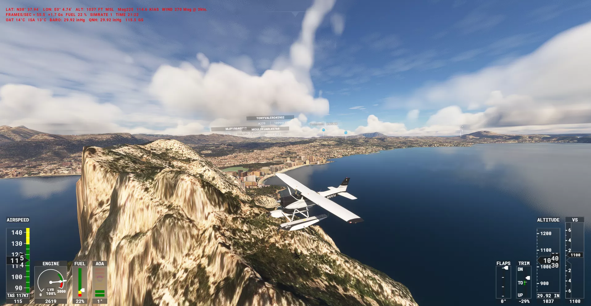
The aircraft then entered another level cruise phase, this time starting from a location two miles west of Alicante. This phase was brief, lasting only four minutes and covering a distance of five nautical miles. The aircraft then began its final approach to runway 10 at Alicante-Elche Miguel Hernández Airport, approaching from the west at a heading of 97.0 degrees and an altitude of 1,090 feet above ground level.
The landing on runway 10 was notable for several factors. The threshold speed was too high at 75 knots, and the touchdown point was 638 meters beyond the touchdown zone. However, the touchdown speed of 48 knots was good, and the touchdown rate was smooth at -118 feet per minute. Unfortunately, the runway touchdown position was significantly misaligned by 17.0 meters from the centreline.
The total landing distance was 1,823 meters, which accounted for 61% of the runway length. The runway rollout alignment was also excessively misaligned by 149.2 meters from the centreline. After landing, the aircraft taxied to the parking area from the runway, taking two minutes and covering a distance of less than one nautical mile.
In total, the flight covered a distance of 52 nautical miles and used 28 kilograms of fuel. The flight duration was 34 minutes, and the local weather conditions at the time of landing were characterized by a temperature of 15 degrees Celsius and a wind speed of 2 knots from a direction of 269 degrees, with a crosswind of 0 knots and a tailwind of 2 knots.

Replay this flight in 3D — the full flight path over the terrain with every stage, event and score along the route.
Enroute Climb
100 %
Enroute climb started overhead Javea (Comunitat Valenciana, Spain). Climbing from 1,485 ft asl to 1,485 ft asl, an increase of 0 ft in 1 minutes and covering less than 1 nm.
| Score | Description | Start | Profile | End |
| 100 % |
Average speed 124 kt 124 kt min to max 124 kt |
124 | 124 kt | |
| 100 % |
Average bank angle 4.5 ° 4.5 ° min to max 4.5 ° |
4.5 | 4.5 ° | |
| 100 % |
Average g force 1.01 g 1.01 g min to max 1.01 g |
1.01 | 1.01 g | |
| Info |
Average VSI -456 fpm -456 fpm min to max -456 fpm |
-456 | -456 fpm | |
| Info |
Average altitude 1,485 ft asl 1,485 ft asl min to max 1,485 ft asl |
1,485 | 1,485 ft asl | |
| Info |
Average pitch angle -2.6 ° -2.6 ° min to max -2.6 ° |
-2.6 | -2.6 ° | |
| Info |
Turn coordination 0 0 min to max 0 |
0 | 0 |
Enroute Level
92.57 %
Enroute level cruise started overhead Javea (Comunitat Valenciana, Spain) and lasted 32 minutes, covering 42 nm.
| Score | Description | Start | Profile | End |
| 100 % |
Average altitude 1,033 ft asl 498 ft asl min to max 1,485 ft asl |
1,485 | 1,030 ft asl | |
| 100 % |
Average speed 125 kt 81 kt min to max 154 kt |
124 | 121 kt | |
| 82.86 % |
Average bank angle 3.6 ° 0.0 ° min to max 48.6 ° |
4.5 | 11.4 ° | |
| 94.29 % |
Average g force 1.02 g 0.30 g min to max 1.66 g |
1.01 | 1.10 g | |
| Info |
Turn coordination 0 0 min to max 0 |
0 | 0 | |
| Info |
Average pitch angle -0.7 ° -13.9 ° min to max 9.4 ° |
-2.6 | 3.4 ° | |
| Info |
Battery Master On at 22:10:01 |
|||
| Info |
Engine 1 Started at 22:10:01 |
|||
| Info |
Beacon Lights Switched On at 22:10:01 |
|||
| Info |
Landing Lights Switched On at 22:10:01 |
|||
| Info |
Navigation Lights Switched On at 22:10:01 |
|||
| Info |
Strobe Lights Switched On at 22:10:01 |
|||
| Info |
Taxi Lights Switched On at 22:10:01 |
|||
| Info |
Autopilot Master Switched On at 22:10:01 |
|||
| Info |
Autopilot Heading Hold Activated at 22:10:01 |
|||
| Info |
Autopilot Altitude Hold Activated at 22:10:01 |
|||
| Info |
Autopilot Flight Director Activated at 22:10:01 |
|||
| Info |
Autopilot Master Switched Off at 22:14:51 |
|||
| Info |
Autopilot Master Switched On at 22:24:16 |
|||
| Info |
Autopilot Master Switched Off at 22:39:31 |
Enroute Climb 2
100 %
Enroute climb started 1 mile south of Alicante (Comunitat Valenciana, Spain). Climbing from 1,043 ft asl to 1,687 ft asl, an increase of 644 ft in 2 minutes and covering 3 nm.
| Score | Description | Start | Profile | End |
| 100 % |
Average speed 110 kt 92 kt min to max 126 kt |
120 | 105 kt | |
| 100 % |
Average bank angle 5.0 ° 0.0 ° min to max 27.6 ° |
11.2 | 1.5 ° | |
| 100 % |
Average g force 1.01 g 0.56 g min to max 1.34 g |
1.03 | 0.93 g | |
| Info |
Average VSI 434 fpm -534 fpm min to max 2,080 fpm |
739 | 160 fpm | |
| Info |
Average altitude 1,343 ft asl 1,043 ft asl min to max 1,687 ft asl |
1,043 | 1,687 ft asl | |
| Info |
Average pitch angle 2.5 ° -2.5 ° min to max 12.7 ° |
3.5 | 0.3 ° | |
| Info |
Turn coordination 0 0 min to max 0 |
0 | 0 |
Enroute Level 2
98.61 %
Enroute level cruise started 2 miles west of Alicante (Comunitat Valenciana, Spain) and lasted 4 minutes, covering 5 nm.
| Score | Description | Start | Profile | End |
| 95.36 % |
Average altitude 1,995 ft asl 1,206 ft asl min to max 2,288 ft asl |
1,685 | 1,206 ft asl | |
| 100 % |
Average speed 119 kt 107 kt min to max 148 kt |
107 | 140 kt | |
| 100 % |
Average bank angle 5.4 ° 0.0 ° min to max 27.6 ° |
0.2 | 19.5 ° | |
| 100 % |
Average g force 1.01 g 0.75 g min to max 1.38 g |
0.99 | 0.99 g | |
| Info |
Turn coordination 0 0 min to max 0 |
0 | 0 | |
| Info |
Average pitch angle -0.5 ° -8.0 ° min to max 5.4 ° |
-0.4 | -6.2 ° | |
| Info |
Landing Gear Down at 22:45:04 |
|||
| Info |
Flaps Position 1 at 22:45:22 |
Arrival Final 2
65.86 %
Approaching runway 10 at LEAL Alicante-Elche Miguel Hernández Airport from 2 nm to 1 nm. Descent from 1,090 ft agl to 562 ft agl. A decrease of 528 ft in 24 seconds.
| Score | Description | Start | Profile | End |
| 1.18 % |
Approach angle 5.3 ° 5.1 ° min to max 5.4 ° Target 3.0 ° |
5.3 | 5.2 ° | |
| 100 % |
Average speed 126 kt 100 kt min to max 138 kt |
138 | 100 kt | |
| 100 % |
Heading variation 0.3 ° -0.5 ° min to max 0.7 ° |
-0.5 | 0.7 ° | |
| 77.51 % |
Average bank angle 3.1 ° 0.0 ° min to max 11.3 ° |
7.1 | 0.6 ° | |
| 100 % |
Average g force 1.00 g 0.90 g min to max 1.15 g |
1.02 | 0.98 g | |
| Info |
Average VSI -1,292 fpm -1,663 fpm min to max -926 fpm |
-1,354 | -926 fpm | |
| Info |
Average altitude 824 ft agl 562 ft agl min to max 1,090 ft agl |
1,090 | 562 ft agl | |
| Info |
Average pitch angle -6.6 ° -9.4 ° min to max -5.1 ° |
-6.3 | -5.9 ° | |
| Info |
Flaps Position 2 at 22:45:39 |
|||
| Info |
Flaps Position 3 at 22:45:43 |
Arrival Final 1
83.09 %
Approaching runway 10 at LEAL Alicante-Elche Miguel Hernández Airport from 1 nm to 0 nm. Descent from 547 ft agl to 107 ft agl. A decrease of 440 ft in 31 seconds.
| Score | Description | Start | Profile | End |
| 15.45 % |
Approach angle 5.2 ° 4.9 ° min to max 5.3 ° Target 3.0 ° |
5.2 | 5.3 ° | |
| 100 % |
Average speed 78 kt 75 kt min to max 98 kt |
98 | 75 kt | |
| 100 % |
Heading variation 0.2 ° 0.1 ° min to max 0.5 ° |
0.5 | 0.1 ° | |
| 100 % |
Average bank angle 1.3 ° 0.0 ° min to max 2.5 ° |
1.1 | 1.5 ° | |
| 100 % |
Average g force 0.99 g 0.96 g min to max 1.06 g |
0.99 | 1.04 g | |
| Info |
Average VSI -735 fpm -985 fpm min to max -658 fpm |
-926 | -705 fpm | |
| Info |
Average altitude 199 ft agl 107 ft agl min to max 547 ft agl |
547 | 107 ft agl | |
| Info |
Average pitch angle -4.2 ° -6.0 ° min to max -3.3 ° |
-5.9 | -3.3 ° |
Arrival Landing
72.18 %
Landing on runway 10 at LEAL Alicante-Elche Miguel Hernández Airport, runway length 2,985 m. Good threshold height. Threshold speed was too high at 75 kt.
| Score | Description | Start | Profile | End |
| 89.41 % |
Threshold speed was too high at 75 kt. Target 60 kt |
|||
| 100 % |
Target 50 ft agl |
|||
| 0 % |
Landing and flare profile |
|||
| 100 % |
Heading variation 0.2 ° 0.0 ° min to max 0.5 ° |
0.1 | 0.5 ° | |
| 98.23 % |
Average bank angle 0.9 ° 0.0 ° min to max 2.7 ° |
1.6 | 0.0 ° | |
| 100 % |
Average g force 1.01 g 0.93 g min to max 1.16 g |
1.05 | 0.98 g | |
| Info |
Average speed 58 kt 48 kt min to max 75 kt |
75 | 48 kt | |
| Info |
Average VSI -185 fpm -703 fpm min to max -42 fpm |
-703 | -118 fpm | |
| Info |
Average altitude -4 ft agl -42 ft agl min to max 43 ft agl |
43 | -42 ft agl | |
| Info |
Average pitch angle 2.1 ° -3.2 ° min to max 4.4 ° |
-3.2 | 3.3 ° |
Arrival Touchdown
74.24 %
Touchdown point was 638 m beyond the touchdown zone. Touchdown speed at 48 kt was good. Touchdown rate was smooth at -118 fpm. Runway touchdown position was significantly misaligned by 17.0 m from centreline. Local weather - Temperature 15 °C. Wind 2 kt at 269 °. Crosswind: 0 kt Tailwind: 2 kt.
| Score | Description | Start | Profile | End |
| 99.39 % |
Touchdown VSI was -118 fpm. |
|||
| 0 % |
Touchdown distance was 1,076 m Target 457 m |
|||
| 100 % |
Speed at touchdown 48 kt Target below 57 kt |
|||
| 49.29 % |
Runway alignment max 16.96 m 16.85 m left |
16.71 | 16.96 m | |
| 100 % |
Average bank angle 0.2 ° 0.0 ° min to max 0.2 ° |
0.0 | 0.2 ° | |
| 100 % |
Average g force 1.07 g 0.98 g min to max 1.14 g |
0.98 | 1.04 g | |
| 80 % |
Landing Bounce |
|||
| Info |
Average speed 47 kt 47 kt min to max 48 kt |
48 | 47 kt | |
| Info |
Average pitch angle 3.8 ° 3.2 ° min to max 4.6 ° |
3.3 | 4.6 ° |
Arrival Rollout
55 %
Total landing distance 1,823 m, 61 % of runway. Runway rollout alignment was excessively misaligned by 149.2 m from centreline.
| Score | Description | Start | Profile | End |
| 100 % |
Landing distance 1,823 m 61 % of runway. |
|||
| 0 % |
Runway alignment max 149.18 m 149.18 m left to 0.00 m left |
16.98 | 149.18 m | |
| 100 % |
Average g force 1.00 g 0.94 g min to max 1.03 g |
1.03 | 1.00 g | |
| Info |
Average speed 51 kt 33 kt min to max 58 kt |
58 | 33 kt | |
| Info |
Average pitch angle 1.5 ° -0.5 ° min to max 4.9 ° |
4.8 | -0.2 ° | |
| Info |
Average bank angle 0.5 ° 0.0 ° min to max 1.5 ° |
0.2 | 1.3 ° | |
| Info |
Flaps Position 1 at 22:47:13 |
|||
| Info |
Flaps Fully Retracted at 22:47:14 |
Arrival Taxi
29.65 %
Taxiing to the parking from the runway took 2 minutes and covered less than 1 nm.
| Score | Description | Start | Profile | End |
| 36.5 % |
Average speed 22 kt 0 kt min to max 43 kt |
28 | 0 kt | |
| 0 % |
Average speed turning corners 15 kt max 42 kt |
0 | 0 kt | |
| 100 % |
Average g force 1.00 g 0.98 g min to max 1.01 g |
0.99 | 1.00 g | |
| Info |
Average pitch angle 1.0 ° -0.6 ° min to max 1.6 ° |
0.1 | 1.3 ° | |
| Info |
Average bank angle 0.4 ° 0.0 ° min to max 2.2 ° |
2.0 | 0.4 ° | |
| 1 % |
Landing Lights at 22:47:55 |
The Cessna Skyhawk aircraft successfully landed at LEAL Alicante-Elche Miguel Hernández Airport, but with some notable areas for improvement. The final approach to runway 10 from the west was executed at a heading of 97.0°, 2 nautical miles away, and at an altitude of 1,090 feet above ground level (agl). The aircraft touched down on the runway, but with a threshold speed that was too high at 75 knots, indicating a slight over-rotation or a need for more precise control during the landing phase.
Upon touchdown, the aircraft's speed was recorded at 48 knots, which is considered good, and the touchdown rate was smooth at -118 feet per minute (fpm). However, the touchdown point was 638 meters beyond the designated touchdown zone, indicating a slight over-run. This could be attributed to the aircraft's excessive speed at touchdown or a slight miscalculation of the landing distance.
The runway touchdown position was significantly misaligned by 17.0 meters from the centerline, which could pose a challenge for the aircraft's rollout and potentially lead to a loss of directional control. The local weather conditions at the time of landing were relatively calm, with a temperature of 15°C, a wind speed of 2 knots at 269°, and a crosswind of 0 knots. The tailwind component was 2 knots, which may have contributed to the aircraft's over-run.
The total landing distance was 1,823 meters, which accounts for 61% of the runway length. This is a relatively long landing distance, indicating that the aircraft may have been traveling at a higher speed than necessary or that the pilot may have been more cautious during the landing phase. The runway rollout alignment was excessively misaligned by 149.2 meters from the centerline, which could be attributed to the initial misalignment during touchdown.
Overall, while the Cessna Skyhawk aircraft successfully landed at LEAL Alicante-Elche Miguel Hernández Airport, there are areas for improvement, particularly in terms of speed control, touchdown point accuracy, and runway alignment.
Drag to zoom · double-click to reset · hover for values